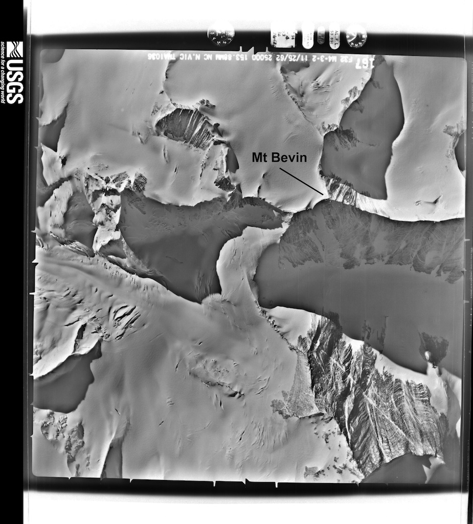
During the 1960’s, the US Navy and the USGS conducted aerial photography and surveying work in the Admiralty Mountains and Mt Bevin region. The photographs from these missions are available from the USGS public website. And here we can find some nice pictures of Mt Bevin.
-
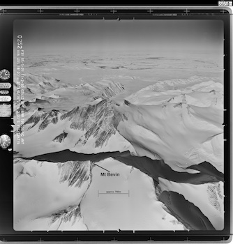
- Mt Bevin Aerial Photograph (oblique). Photo provided by USGS.

-

- Mt Bevin Aerial Photograph (vertical). Photo provided by USGS.